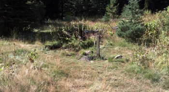
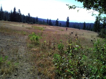
Connects the Sinks Trail to Rough Fork Trail of the Walla Walla South Fork.
This connector follows some closed gravel roads and a short section of the perimeter trail of Jubilee Lake. The Rough Fork Trailhead is close to Mottet Springs Campground, which is a fee-based campground that does have a running spigot from the spring if you need to get some water, or otherwise would like to camp there. Bike riding is technically against the rules for the short stint on the Jubilee Lake perimeter trail, so proceed accordingly. There is no quick way to circumnavigate around this section of trail along the lake.
Directions south to north (as shown on the map here)
- At the top of Sinks Trail, continue up the mountain on an old feint road.
- After is crests, you find singletrack down to Jubilee Lake.
- At the lakeshore trail, turn right and begin going around the lake counter clockwise
- Look for a road to take off to the right from the trail. This road goes up to a primitive camping spot where you come to the main Road 64.
- Go directly across the road and look for the snowmobile road. Follow that.
- When you come to the NF-64 road, take a right and continue past Mottet Springs Campground to find the Rough Fork trail on your left.
Directions north to south, from Rough Fork to Sinks.
- 0.0 mi. From the Rough Fork Trailhead, take a right and head south on NF-64 and continue past the Mottet Springs Campground Entrance.
- 1.4 Take a left onto a barricaded road (Rd. 6411).
- 3.2 Arrive at Road 64 near Jubilee Lake. Travel directly across the road to a road that goes down to the lake, which is also used as a primitive camp spot. Travel around the gate near the campsites and continue down to the lake.
- 3.4 Arrive at the lakeside trail, and turn left, heading clockwise (east) around the lake.
- 4.4 Look for a trail to the left, that hairpins back up the hill beside the lake. There is a rope swing to the right where this trail takes off. If you cross the dam or reach a paved path, you have gone too far. Take this trail east as it climbs as a singletrack trail up to a ridge and opens onto an old abandoned road.
- 5.0 As the trail becomes a rocky road, try to follow it through the meadow as it travels down the hill paralleling Mottet Creek. There are some singletrack trails as you get closer to Mottet Springs, or you can stay on the rocky road.
- 5.6 At a road intersection right beside the creek, you will find a singeltrack trail emerging from an entrance into the deep woods. That is the Sinks Trail, which will be well defined once you get on the trail. There are no physical marking signs for this trailhead entrance.


