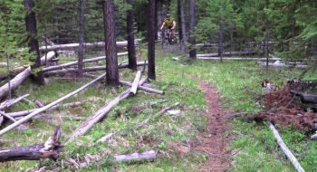
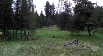
This is a top secret 20+ mile singletrack trail...so secret it doesn't even have a name. There are no markings either, so the only way to follow it is to go there with one of the few trail gods or follow this track with your GPS unit and turn where it tells you to turn. It crosses over gravel roads and ATV two-track trails quite often, sometimes using them for a few hundred yards and then diving back onto singletrack. As you may conclude, it is very difficult to follow but...it's a long singletrack! Once you get to the end, you can take the main road back to where you started. More information will be presented here as the trail develops. I guaranty you can only find one other mountain biker that knows about this trail and has ridden it.
Trail Description
Trail data mapped by Brian Sather on Aug 24, 2013 · Last update: Jun 22, 2016
Photos