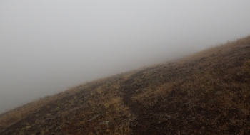
Bobsled has potential as a fun mountain bike ride. It is difficult to get to and isn't in that good of shape. It is basically unrideable right now so I didn't go too far down it and the track here just shows what I did to document there is something there. If repaired the trail should be good because it follows a scenic ridgetop and stays out of the trees. There are also two trails off of it that might potentially create some loops. However, I could not find any sign of the first trail that was supposed to go north down to Bobsled Creek. Satellite images don't show anything of that trail either. Continuing on down the ridge leads to a fork in the main Bobsled Trail that does show on the satellite, whereby two trails go down different ridges to the river and road at the bottom of the valley. Houses and private residents are on the map and I haven't checked out how easy a river ford is or if there is access there.
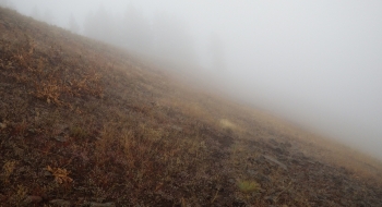
Like many trails I've been to lately, it starts as an ATV track until they get unnerved and stop. Then, the trail becomes unrideable and difficult to follow. In this case the original trail seems to be just to the side of the ridge but the ATV stays on top. In looking at satellite images, the trail does continue as shown on the map so it should be something that can be followed especially on foot. Hopefully trailwork can rejuvenate this trail.
You get to the top of it by following FS 3128 past Black Mountain, almost all the way out and park at the beginning of the track shown here. The road gets pretty rough the farther out you go, but overall isn't too bad.