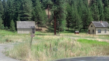
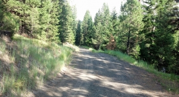
Why you would want to do this climb, I don't know. Perhaps you just like climbing and you do it because it is there. However, there are many more compelling gravel climbs nearby and it would probably be better to do the one across the road up to the lookout. Maybe you just want to go up and visit Park Saddle, a crotch between Dry Beaver and Limber Jim. Probably the most plausible answer is that you are camped at Birdtrack, Red Bridge, or Spool Cart and don't want to get your shiny new Honda Element dusty so you decide to climb up to access the Hoodoo Trail from the west leaving from the mice hotel that once was a forest service guard station on paved "The 51 Road." Enjoy!
Trail Description
Trail data mapped by Brian Sather on Jul 31, 2014 · Last update: May 24, 2017
Waypoints
Johnson Rock — Fire lookout on top of the hill
45.125383, -118.40317Photos

