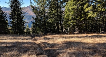
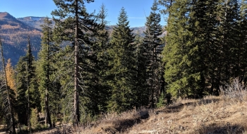
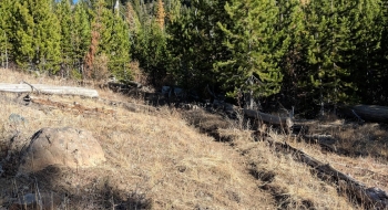
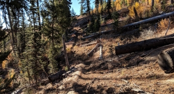
This is a very straightforward trail that meanders over the ridge and drops down to the Imnaha River where you have several trail options to choose from there. The trail is in good shape and never really that steep or rugged, but does over some nice views and access into a spot that not many visit. This is one of the few trails on the eastern side of the Wallowas that doesn't have you hiking through a massive burn.
It starts on an old road near some mines. Just over 2 miles into the trail it tops out at 7,021 feet and you begin to descend. There aren't any trail intersections or confusion along the way, so just enjoy the journey into the Imnaha. After you top out you will begin to see Sugarloaf Mountain and the Twin Lakes burn area.
From the paved loop road, the trailhead is two miles up a mostly good dirt road. Find this road right across from Lick Creek Campground and make sure to take the first right and go across a bridge and climb up to the trailhead. There isn't a lot of room for stock trailer turnaround. No bathrooms at the trailhead either which also means there is no pass required to park there.