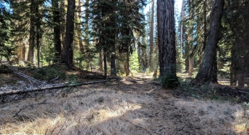
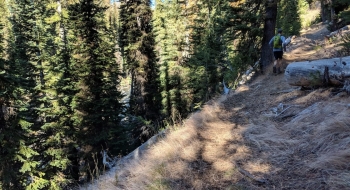
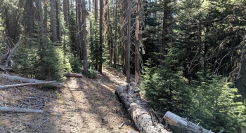
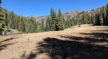
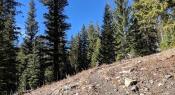
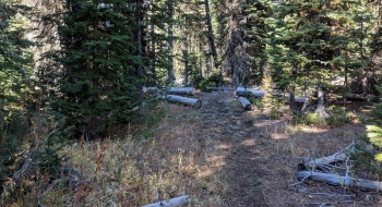
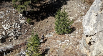
This secluded trail serves as a great connector between the Tenderfoot area and the Imnaha River. It offers a good trail surface and a steady gradient for a pleasant experience from low to high alpine. After working along the river side for much of the rise, it starts to open up to the view of some big slopes. Then, you finally get to a switchback that starts you up the ridge in earnest. It becomes apparent you are on the old wagon road as you are on wide but rocky surface with some well carved out switchbacks.
It isn't as well maintained as other trails in the area so expect to hop some logs. There is a significant crossing of the Imnaha about halfway up the trail takes you right back to the east side of the river again a short ways up. At the trail junction, you have the option to go to Tenderfoot Pass or toward Big Sheep on the Tenderfoot Wagon Road Trail.
You can get to the lower part of the trail by going up the South Fork Imnaha Trail or coming down the Lick Creek Trail which is a bit shorter access point. The Deadman Trail is also an option too, if you can ford the Imnaha. Boner Flat Trail is a trail you can drop in a few miles into the trail. At the upper end, Tenderfoot Wagon Road Trail or Tenderfoot Pass are some locations to get onto this trail. There are even more options than this, so keep this trail in mind to form a loop or thru-hike, because it is a good one.
Trail Notes
- 0.0mi. The lower end of the trails starts at a marked intersection 6.8 miles up the South Fork Imnaha Trail by a footbridge that crosses the North Fork Imnaha River. Start up the trail as it follows along the east side of the North Fork.
- 2.2 Unmarked intersection with Boner Flat Trail. To take that trail you ford the North Fork and pick it up on the other side.
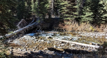
- 3.5 The trail crosses the river. This is the only point where you must ford the river on the trail and it comes back across about a quarter mile up river. This will be a difficult crossing in early season, but you can just stay on the east side if needed.
- 3.9 The second ford of the river to get back to the other side. This one is marked by poles (trees) in propped in some rocks on either side of the river.
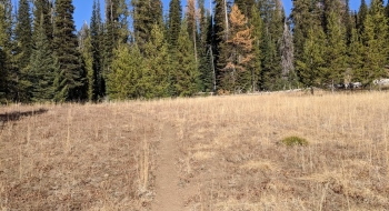
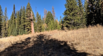
- 6.1 First switchback to start steeper climb up to the ridge.
- 7.0 Intersection with Tenderfoot Wagon Road Trail.
- ?.? The next stretch up to Tenderfoot Pass isn't covered here yet.


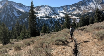


 is Tenderfoot Pass and right (east) traverses toward Big Sheep Creek on Tenderfoot Wagon Road.")