Take a scenic loop around Wing Ridge on this trail and experience some dense lodgepole pines, healthy white bark pines, sagebrush, and basalt pockets, pretty much in that order. This trail gets surprisingly little use for how close it is to the Wallowa Loop Road. It is actually a really scenic and fun trail that is much more interesting then the section of Tenderfoot Wagon Road that roughly parallels it.
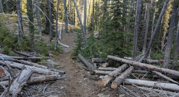
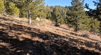
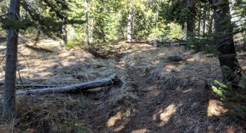
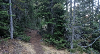
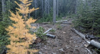
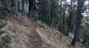
There isn't much engineering to the trail at the start, as it points up the mountain and climbs steeply. This is probably reflective of the mindset of the backcountry skiers that use this trail to access Phat Ridge and South Bowl. Once the trail wraps around to the other side of a ridge you get to experience some decent views as you meander through the sagebrush. The stand of white bark pines are magnificent through this section. The trail gradually gets less maintained until it gets really bad, petering out in places with little log cutting in sight. Where it arrives at the Tenderfoot Wagon Road again, there is a sign on a tree marking the trail, but you have ended the same way you started, pretty much going straight down the mountain.
If I were finishing a hiking from the Tenderfoot and Big Sheep area, this would be a better trail to take then Tenderfoot Trail to get back to Salt Creek Summit. Many just opt to start or finish at the Tenderfoot Trailhead so that probably explains why this gets no use. Also, it enters the wilderness mountain bikers have to stay down on the boring old wagon trail. From the wilderness line back to Salt Creek Summit would be a fun and fast descent on a bike.
Trail Notes
- 0.0mi. Head a half mile up the main trail across the road from Salt Creek Summit Snopark. The trail splits and stay right to start this trail, which is marked as the Wing Ridge Trail. There are other ones to the right you should avoid before getting to this.
- 0.8 Trail crosses Salt Creek.
- 1.9 Arrive at the saddle on wing ridge drop onto the other side to traverse.
- 3.6 Trail starts to abandon the long traverse and head down the mountain. It is poorly maintained with several trees down and hard to follow at times. Just make sure not to go beyond the ride. The trail roughly follows the top of the ridge heading south as it works down to reconnect with the Tenderfoot Wagon Road Trail.
- 4.6 Arrive at the end of the trail where the Tenderfoot trail crosses North Fork Big Sheep Creek.