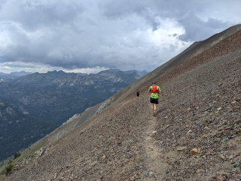
Polaris is a dramatic pass to get over the ridge between West Fork of the Wallowa River to East Fork of the Wallowa or the North Imnaha. The trail is very aggressive and 2,500' tall on the west side, with unlimited switchbacks to the barren pass. The east side is more mellow and placid because you've already gained much elevation to get to the start of the official trail after Tenderfoot Pass. The trail surface is much better on this side too. This is a visually compelling transfer from one valley to the other at the cost of a massive effort that gives you bragging rights that will gain much respect.
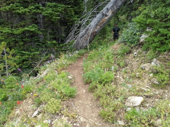
The drop (or climb) on the west side has tricky footing. There are likely some trees across the trail and some walkarounds or early switchbacks. The trail is never that wide and sometimes the vegetation obscures the trail. The very top is lose rock in a very fluid state. By contrast, the other side is more put-together probably because snow sits on it most of the year. The "Wind-lowas" get really hammered by wind all winter and snow doesn't stay on the western slopes in this area.
Notes
0.0 mi. Trail starts at an intersection just past Tenderfoot Pass
2.4 Polaris Pass Elev. 8,883'. There is a side trail that follows the ridgetop over to the top of Sentinel Peak to the south of the pass.
7.0 End of trail.