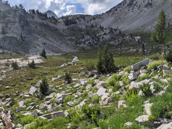
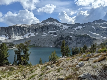
Top quality, visually stunning trail every single step. The trail takes you up over Glacier Pass and visits arguably the most gorgeous lake in the Eagle Cap Wilderness. You start in the Lakes Basin and meander up through pristine pockets of vegetation amongst the rocks. As you wind up the views keep getting better and better at every turn. The stretch up to the pass shows you all the big peaks in the heart of the Wallowas, and then a glimpse of Glacier Lake at the Pass. A short hike off the pass puts you along the idyllic shoreline of Glacier Lake with picturesque islands and a fantastic backdrop.
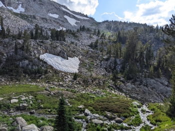
The trail drops off from the lake right where it spills over into a rushing cascade. You traverse across with a view of the creek for a ways before some winding down through the rocks to eventually arrive at a trail intersection at Frazier Lake.
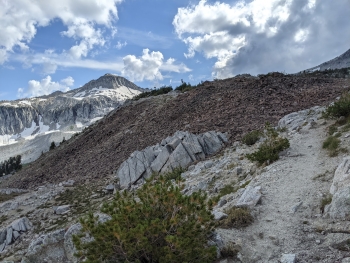
The trail surface is a mix of rock and decomposed granite in the highest stretches.
Notes
0.0 mi. Trail starts at an intersection on the Moccasin Trail in the Lakes Basin.
0.1 Cross stream of Moccasin Lake
2.0 Glacier Pass (elev. 8,500')
2.5 Arrive at shoreline of Glacier Lake
2.6 Leave Glacier Lake
4.6 Trail ends at an intersection at Frazier Lake