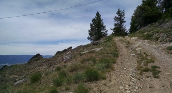
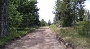
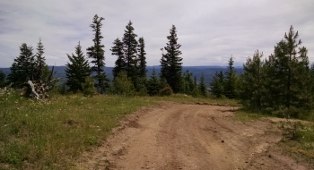
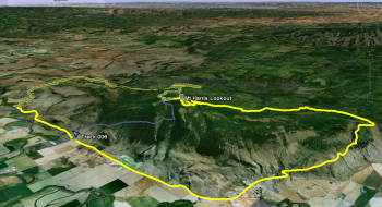
A rather big loop that goes up Indian Creek on the north side of Mt. Harris, summits the mountain at the lookout and towers, and comes back down the south side on Mt. Harris Road to Grays Corner. Most of the road is good gravel, but it does get a bit rutted and rocky closer to the summit.
Trail Description
Trail data mapped by Brian Sather on Sep 13, 2011 · Last update: Jul 28, 2017
Photos